
Serantes topographic map
Interactive map
Click on the map to display elevation.
About this map
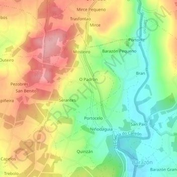
Name: Serantes topographic map, elevation, terrain.
Location: Serantes, Santiso, Terra de Melide, Galicia, España (42.86207 -8.03938 42.87877 -8.02348)
Average elevation: 384 m
Minimum elevation: 317 m
Maximum elevation: 456 m