
Marlin topographic map
Interactive map
Click on the map to display elevation.
About this map
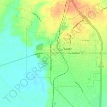
Name: Marlin topographic map, elevation, terrain.
Location: Marlin, Falls County, Texas, 76661, USA (31.28369 -96.91646 31.32849 -96.87439)
Average elevation: 118 m
Minimum elevation: 99 m
Maximum elevation: 142 m