
Little Red River topographic map
Interactive map
Click on the map to display elevation.
About this map
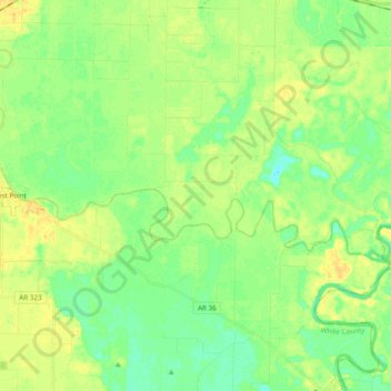
Name: Little Red River topographic map, elevation, terrain.
Location: Little Red River, White County, Arkansas, 72178, USA (35.17924 -91.61997 35.23209 -91.42776)
Average elevation: 61 m
Minimum elevation: 50 m
Maximum elevation: 74 m
Other topographic maps
Click on a map to view its topography, its elevation and its terrain.
Rock Springs
USA > Arkansas > Rock Springs
Rock Springs, Pope County, Arkansas, 72801:72843, USA
Average elevation: 218 m
Ash Flat Lake
Ash Flat Lake, Michael Lane Road, Estes, Pulaski County, Arkansas, 72046, USA
Average elevation: 73 m