
Negril topographic map
Interactive map
Click on the map to display elevation.
About this map
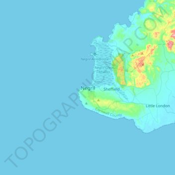
Name: Negril topographic map, elevation, terrain.
Location: Negril, Westmoreland, Cornwall County, Jamaica (18.23866 -78.38647 18.31866 -78.30647)
Average elevation: 22 m
Minimum elevation: -2 m
Maximum elevation: 171 m