
Shotts topographic map
Interactive map
Click on the map to display elevation.
About this map
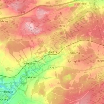
Name: Shotts topographic map, elevation, terrain.
Location: Shotts, North Lanarkshire, Scotland, ML7 5EU, United Kingdom (55.77887 -3.83390 55.85887 -3.75390)
Average elevation: 236 m
Minimum elevation: 134 m
Maximum elevation: 307 m