
Anuppur topographic map
Interactive map
Click on the map to display elevation.
About this map
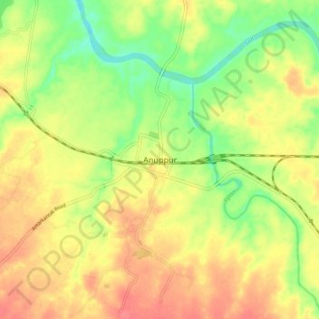
Name: Anuppur topographic map, elevation, terrain.
Average elevation: 485 m
Minimum elevation: 453 m
Maximum elevation: 511 m
Anuppur is located at 23°06′N 81°41′E / 23.1°N 81.68°E / 23.1; 81.68. It has an average elevation of 505 metres (1,656 feet). The Son River and some of its tributaries run through Anuppur. According to 2001 Census, the total population of Anuppur District is 667155, out of which 309624 are Scheduled tribes and 48376 are Scheduled castes. In this manner, Anuppur District is a tribal dominated district. Kotma is the largest city/town and Municipality in Anuppur district.