
Sage Hill topographic map
Interactive map
Click on the map to display elevation.
About this map
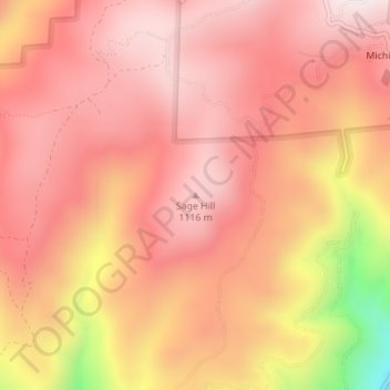
Name: Sage Hill topographic map, elevation, terrain.
Location: Sage Hill, Placer County, California, USA (39.03263 -120.75498 39.03273 -120.75488)
Average elevation: 977 m
Minimum elevation: 496 m
Maximum elevation: 1,168 m
Other topographic maps
Click on a map to view its topography, its elevation and its terrain.