
Fredriksten topographic map
Interactive map
Click on the map to display elevation.
About this map
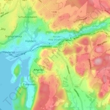
Name: Fredriksten topographic map, elevation, terrain.
Location: Fredriksten, Halden, Østfold, 1772, Norway (59.09948 11.38518 59.13948 11.42518)
Average elevation: 70 m
Minimum elevation: -1 m
Maximum elevation: 155 m