
Windsor Heights topographic map
Interactive map
Click on the map to display elevation.
About this map
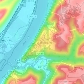
Name: Windsor Heights topographic map, elevation, terrain.
Location: Windsor Heights, Brooke County, West Virginia, 26075, USA (40.18647 -80.66884 40.19631 -80.65774)
Average elevation: 263 m
Minimum elevation: 190 m
Maximum elevation: 367 m