
Cleveland Dam topographic map
Interactive map
Click on the map to display elevation.
About this map
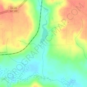
Name: Cleveland Dam topographic map, elevation, terrain.
Location: Cleveland Dam, Peach County, Georgia, United States (32.58676 -83.79496 32.58686 -83.79486)
Average elevation: 126 m
Minimum elevation: 100 m
Maximum elevation: 154 m