
The Palisade topographic map
Interactive map
Click on the map to display elevation.
About this map
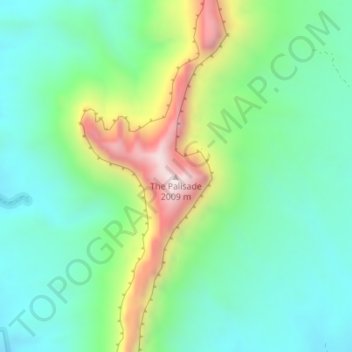
Name: The Palisade topographic map, elevation, terrain.
Location: The Palisade, Mesa County, Colorado, 81522, USA (38.70930 -108.97460 38.70940 -108.97450)
Average elevation: 1,651 m
Minimum elevation: 1,442 m
Maximum elevation: 2,142 m
Other topographic maps
Click on a map to view its topography, its elevation and its terrain.