
Khan Toul Kork topographic map
Interactive map
Click on the map to display elevation.
About this map
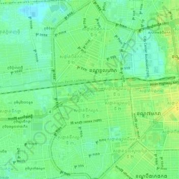
Name: Khan Toul Kork topographic map, elevation, terrain.
Location: Khan Toul Kork, Phnom Penh, Cambodia (11.54863 104.88715 11.59077 104.90777)
Average elevation: 12 m
Minimum elevation: 3 m
Maximum elevation: 21 m
Other topographic maps
Click on a map to view its topography, its elevation and its terrain.
Chong Koh - Ethnic Cham Fishing Village
Cambodia > Phnom Penh > Khan Chroy Changvar > Chong Koh - Ethnic Cham Fishing Village
Average elevation: 11 m