
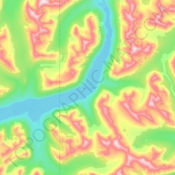
Cry Lake topographic map
Interactive map
Click on the map to display elevation.
About this map
Name: Cry Lake topographic map, elevation, terrain.
Average elevation: 1,547 m
Minimum elevation: 1,169 m
Maximum elevation: 2,173 m
Stikine Region trails, hiking, mountain biking, running and outdoor activities