
Elkhart topographic map
Interactive map
Click on the map to display elevation.
About this map
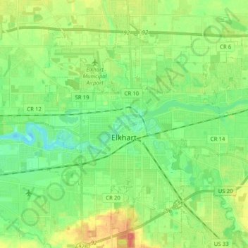
Name: Elkhart topographic map, elevation, terrain.
Location: Elkhart, Elkhart County, Indiana, USA (41.63764 -86.04234 41.73882 -85.88815)
Average elevation: 234 m
Minimum elevation: 214 m
Maximum elevation: 269 m