
Long Valley Junction topographic map
Interactive map
Click on the map to display elevation.
About this map
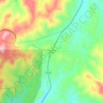
Name: Long Valley Junction topographic map, elevation, terrain.
Location: Long Valley Junction, Kane County, Utah, 84710, USA (37.46868 -112.53270 37.50868 -112.49270)
Average elevation: 2,295 m
Minimum elevation: 2,193 m
Maximum elevation: 2,440 m