
Benito topographic map
Interactive map
Click on the map to display elevation.
About this map
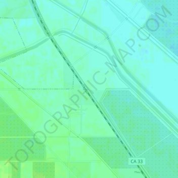
Name: Benito topographic map, elevation, terrain.
Location: Benito, Fresno County, California, USA (36.81162 -120.44628 36.83162 -120.42628)
Average elevation: 48 m
Minimum elevation: 44 m
Maximum elevation: 53 m
Other topographic maps
Click on a map to view its topography, its elevation and its terrain.