
Hurricane River topographic map
Interactive map
Click on the map to display elevation.
About this map
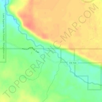
Name: Hurricane River topographic map, elevation, terrain.
Location: Hurricane River, Alger County, Michigan, USA (46.62044 -86.13650 46.62120 -86.13195)
Average elevation: 261 m
Minimum elevation: 236 m
Maximum elevation: 283 m
Other topographic maps
Click on a map to view its topography, its elevation and its terrain.