
Edmonston topographic map
Interactive map
Click on the map to display elevation.
About this map
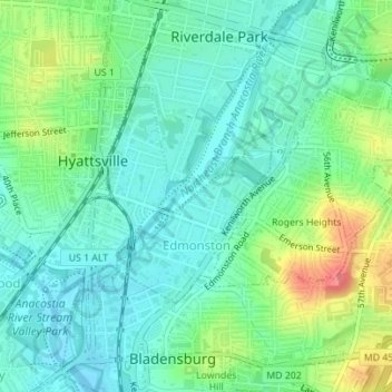
Name: Edmonston topographic map, elevation, terrain.
Average elevation: 21 m
Minimum elevation: -2 m
Maximum elevation: 69 m
Other topographic maps
Click on a map to view its topography, its elevation and its terrain.
Dinosaur Park
United States > Maryland > Prince George's County > South Laurel > Montpelier Forest
Average elevation: 67 m