
Mann topographic map
Interactive map
Click on the map to display elevation.
About this map
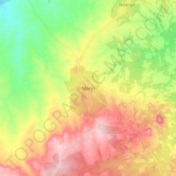
Name: Mann topographic map, elevation, terrain.
Location: Mann, Ouham-Pendé, Central African Republic (7.33490 15.44654 7.41490 15.52654)
Average elevation: 714 m
Minimum elevation: 573 m
Maximum elevation: 851 m