
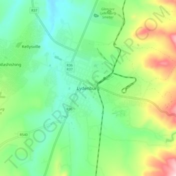
Mashishing (Lydenburg) topographic map
Interactive map
Click on the map to display elevation.
About this map
Name: Mashishing (Lydenburg) topographic map, elevation, terrain.
Location: Mashishing (Lydenburg), Ehlanzeni, Mpumalanga, 1120, RSA (-25.13944 30.41888 -25.05944 30.49888)
Average elevation: 1,449 m
Minimum elevation: 1,328 m
Maximum elevation: 1,714 m