Geolocate

Lifou topographic map

Click on the map to display elevation.

About this map
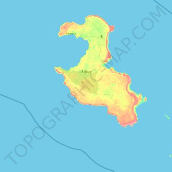
Name: Lifou topographic map, elevation, terrain.

Location: Lifou, Loyalty Islands Province, New Caledonia, 98820, France (-21.32034 167.01104 -20.67907 167.83971)

Average elevation: 7 m

Minimum elevation: 0 m

Maximum elevation: 102 m

Other topographic maps

Click on a map to view its topography, its elevation and its terrain.

Atha

France > Loyalty Islands Province > Maré > La Roche

Average elevation: 38 m

Tuo

France > Loyalty Islands Province > Maré

Average elevation: 73 m

Gear up for your next adventure:

🥫Freeze-Dried Meals - Lightweight, high-calorie nutrition for multi-day treks
🧦Thermal Socks - Warm socks for winter hiking or camping
🥾Trail Hiking Boots - Supportive boots for rough trails
🕯️Camping Lantern - Illuminates your entire campsite with high-efficiency LEDs
🌡️Emergency Mylar Blankets - Compact thermal protection for unexpected nights outdoors

As an Amazon Associate, this site earns from qualifying purchases at no extra cost to you.