
Le Port topographic map
Click on the map to display elevation.
About this map
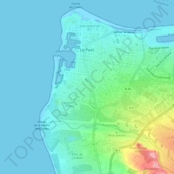
Name: Le Port topographic map, elevation, terrain.
Location: Le Port, Saint-Paul, Réunion, 97420, France (-20.96878 55.27722 -20.92330 55.33036)
Average elevation: 25 m
Minimum elevation: -2 m
Maximum elevation: 136 m
Other topographic maps
Click on a map to view its topography, its elevation and its terrain.