
Hidden Valley Lake topographic map
Interactive map
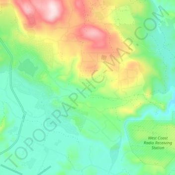
Click on the map to display elevation.
About this map
Name: Hidden Valley Lake topographic map, elevation, terrain.
Average elevation: 389 m
Minimum elevation: 240 m
Maximum elevation: 690 m
Other topographic maps
Click on a map to view its topography, its elevation and its terrain.
Kelseyville
United States > California > Lake County
Kelseyville, Lake County, California, 95451, United States
Average elevation: 431 m
Red Rocks
United States > California > Lake County
Red Rocks, Lake County, California, United States
Average elevation: 530 m
Twin Sisters
United States > California > Lake County
Twin Sisters, Lake County, California, United States
Average elevation: 723 m