Geolocate

Ooltewah topographic map

Click on the map to display elevation.

About this map

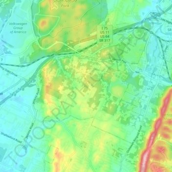
Name: Ooltewah topographic map, elevation, terrain.

Location: Ooltewah, Hamilton County, East Tennessee, Tennessee, United States (35.03410 -85.12890 35.08124 -85.04323)

Average elevation: 267 m

Minimum elevation: 217 m

Maximum elevation: 389 m

Other topographic maps

Click on a map to view its topography, its elevation and its terrain.

Gear up for your next adventure:

🦶Anti-Blister Balm - Prevents friction and hotspots during long ascents
🧴Insect Repellent - Protect yourself from bugs during outdoor adventures
🛰️Satellite Messenger - Emergency communication for areas with no cell service
🪜Heavy Duty Carabiners - Multi-use clips for securing gear to your backpack
🧊Portable Cooler - Keep food and drinks cold during outdoor adventures

As an Amazon Associate, this site earns from qualifying purchases at no extra cost to you.