Geolocate

Palimbang topographic map

Click on the map to display elevation.

About this map

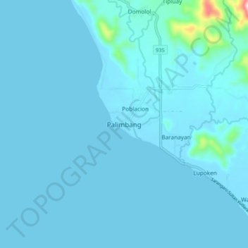
Name: Palimbang topographic map, elevation, terrain.

Location: Palimbang, Sultan Kudarat, Soccsksargen, 9809, Philippines (6.17030 124.14835 6.25030 124.22835)

Average elevation: 19 m

Minimum elevation: 0 m

Maximum elevation: 406 m

Gear up for your next adventure:

🧣Merino Neck Gaiter - Protects against wind, sun, and cold at high altitudes
🩹Moleskin Blister Pads - Direct protection for painful foot pressure points
🚲MTB Frame Bag - Carry tools and maps directly on your bicycle frame
🧥Waterproof Hiking Jacket - Protect yourself from rain and wind while hiking
🔦LED Flashlight - Powerful and long-lasting flashlight for camping and emergencies

As an Amazon Associate, this site earns from qualifying purchases at no extra cost to you.