Geolocate

Selma topographic map

Click on the map to display elevation.

About this map

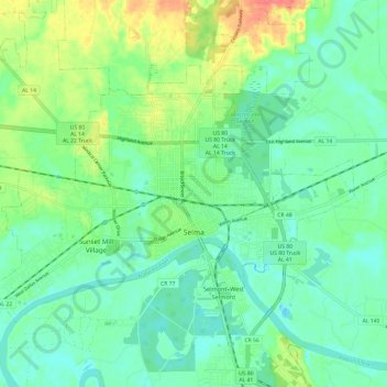
Name: Selma topographic map, elevation, terrain.

Location: Selma, Dallas County, Alabama, 36701, United States (32.38416 -87.09109 32.45151 -86.97104)

Average elevation: 40 m

Minimum elevation: 23 m

Maximum elevation: 79 m

Gear up for your next adventure:

🧰Multitool Knife - Compact and versatile tool for outdoor use
🧭GPS Handheld Device - Reliable GPS navigation for outdoor adventures
🥾Lightweight Hiking Shoes - Comfortable shoes for day hikes
🧢Hiking Sun Hat - Wide-brimmed protection for exposed mountain ridges
🎒Hiking Daypack - Lightweight and durable backpacks for day trips and excursions

As an Amazon Associate, this site earns from qualifying purchases at no extra cost to you.