Geolocate

Santa Chiara topographic map

Click on the map to display elevation.

About this map

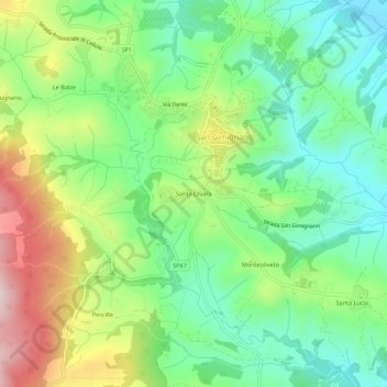
Name: Santa Chiara topographic map, elevation, terrain.

Location: Santa Chiara, San Gimignano, Siena, Tuscany, 53037, Italy (43.44191 11.01882 43.48191 11.05882)

Average elevation: 255 m

Minimum elevation: 122 m

Maximum elevation: 489 m

Gear up for your next adventure:

🚲Bike Repair Kit - Essential tools for on-trail mechanical issues
🥾Trail Hiking Boots - Supportive boots for rough trails
🔥Camping Stove - Portable stoves to cook outdoors with ease
Family Camping Tent - Spacious tent suitable for family camping trips
🥾Mountain Hiking Shoes - Shoes with superior grip for mountainous terrain

As an Amazon Associate, this site earns from qualifying purchases at no extra cost to you.