

Buxton topographic map
Click on the map to display elevation.
Buxton
Buxton has an oceanic climate with short, mild summers and long, cool winters. At about 1,000 feet (300 m) above sea level, Buxton is the highest market town in England. Buxton's elevation makes it cooler and wetter than surrounding towns, with a daytime temperature typically about 2 °C lower than Manchester.
About this map
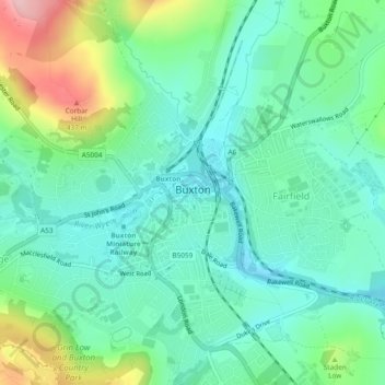
Name: Buxton topographic map, elevation, terrain.
Location: Buxton, High Peak, Derbyshire, England, United Kingdom (53.24499 -1.93022 53.27317 -1.88366)
Average elevation: 334 m
Minimum elevation: 285 m
Maximum elevation: 460 m