

Cates topographic map
Click on the map to display elevation.
About this map
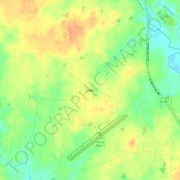
Name: Cates topographic map, elevation, terrain.
Location: Cates, Person County, North Carolina, 27583, United States (36.27514 -79.00695 36.31514 -78.96695)
Average elevation: 181 m
Minimum elevation: 159 m
Maximum elevation: 199 m