
Thank you for supporting this site ❤️
Make a donation
Make a donation
Gear up for your next adventure:
As an Amazon Associate, this site earns from qualifying purchases at no extra cost to you.
Borg topographic map
Click on the map to display elevation.
Thank you for supporting this site ❤️
Make a donation
Make a donation
Gear up for your next adventure:
As an Amazon Associate, this site earns from qualifying purchases at no extra cost to you.
About this map
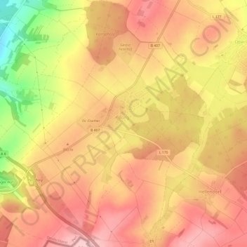
Name: Borg topographic map, elevation, terrain.
Location: Borg, Perl, Landkreis Merzig-Wadern, Saarland, Germany (49.47544 6.40500 49.51408 6.46031)
Average elevation: 365 m
Minimum elevation: 242 m
Maximum elevation: 430 m
Thank you for supporting this site ❤️
Make a donation
Make a donation
Gear up for your next adventure:
As an Amazon Associate, this site earns from qualifying purchases at no extra cost to you.