Geolocate

Stroudsburg topographic map

Click on the map to display elevation.

Stroudsburg

Stroudsburg's elevation is 500 feet (150 m) above sea level.

About this map

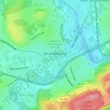
Name: Stroudsburg topographic map, elevation, terrain.

Location: Stroudsburg, Monroe County, Pennsylvania, 18360, United States (40.97450 -75.21523 40.99752 -75.18077)

Average elevation: 147 m

Minimum elevation: 111 m

Maximum elevation: 241 m

Gear up for your next adventure:

🥫Freeze-Dried Meals - Lightweight, high-calorie nutrition for multi-day treks
🚑Survival Whistle - Signal for help across long distances in mountains
🥾Waterproof Trail Shoes - Shoes designed to handle wet terrain
🔥Camping Stove - Portable stoves to cook outdoors with ease
🥾Hiking Leggings - Comfortable leggings for outdoor activities

As an Amazon Associate, this site earns from qualifying purchases at no extra cost to you.