Geolocate

Enterprise topographic map

Click on the map to display elevation.

About this map

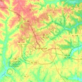
Name: Enterprise topographic map, elevation, terrain.

Location: Enterprise, Coffee County, Alabama, United States (31.26513 -85.89620 31.38659 -85.77779)

Average elevation: 100 m

Minimum elevation: 57 m

Maximum elevation: 146 m

Other topographic maps

Click on a map to view its topography, its elevation and its terrain.

Brooklyn

United States > Alabama > Coffee County

Average elevation: 87 m

Gear up for your next adventure:

🥫Freeze-Dried Meals - Lightweight, high-calorie nutrition for multi-day treks
🛌Down Sleeping Bag - Superior warmth-to-weight ratio for cold nights
🕯️Camping Lantern - Illuminates your entire campsite with high-efficiency LEDs
🧰Survival Kit - Essential gear for emergencies in the wilderness
🔪Outdoor Multitool - Versatile tool for repairs and food prep in the wild

As an Amazon Associate, this site earns from qualifying purchases at no extra cost to you.