
Greymouth topographic map
Click on the map to display elevation.
Greymouth
A combination of high intensity rainfall, high topographic relief and short steep rivers often leads to rapid flooding of low-lying land across the West Coast. Since its founding Greymouth has experienced two dozen floods by the Grey River, with many of the most significant being assigned names: for example, the Great Flood (1872), the Jubilee Flood (1887), the Big Flood (1905), The Biggest Since 1887 (1936), The Biggest Since 1936 (1977), The Big One (May 1988) and The Biggest (September 1988). After the two floods in 1988 the mayor of Greymouth, Barry Dallas, organised the construction of a flood protection wall. Rising 2 m above the level of the railway embankment and riverside wharf, it was completed in September 1990 at a cost of NZ$4m. Since its completion Greymouth has not suffered a significant flood, although the river has come close to the top of the flood wall several times.
About this map
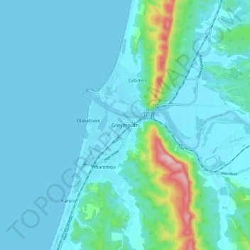
Name: Greymouth topographic map, elevation, terrain.
Location: Greymouth, Grey District, West Coast, 7801, New Zealand (-42.48995 171.16799 -42.40995 171.24799)
Average elevation: 40 m
Minimum elevation: -3 m
Maximum elevation: 337 m