
Flushing topographic map
Interactive map
Click on the map to display elevation.
About this map
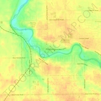
Name: Flushing topographic map, elevation, terrain.
Location: Flushing, Genesee County, Michigan, 48433, USA (43.05022 -83.86760 43.07477 -83.81302)
Average elevation: 220 m
Minimum elevation: 197 m
Maximum elevation: 230 m