
St. Brieux topographic map
Interactive map
Click on the map to display elevation.
About this map
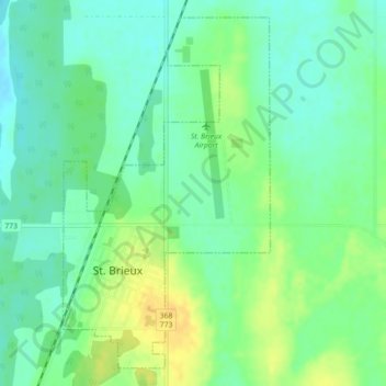
Name: St. Brieux topographic map, elevation, terrain.
Location: St. Brieux, Saskatchewan, S0K 3V0, Canada (52.62843 -104.89691 52.65300 -104.87298)
Average elevation: 541 m
Minimum elevation: 530 m
Maximum elevation: 557 m