Geolocate

Castelnuovo topographic map

Click on the map to display elevation.

About this map
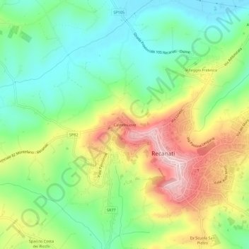
Name: Castelnuovo topographic map, elevation, terrain.

Location: Castelnuovo, Recanati, Macerata, Marche, 62019, Italy (43.38813 13.52011 43.42813 13.56011)

Average elevation: 130 m

Minimum elevation: 22 m

Maximum elevation: 298 m

Gear up for your next adventure:

🥾Waterproof Hiking Boots - Boots keeping your feet dry in wet conditions
🧊Insulated Water Bottle - Keeps drinks cold in summer and prevents freezing in winter
🕶️Polarized Sunglasses - Reduces glare from snow and water at high elevations
🏃Hydration Running Vest - Carry water and maps close to your body for speed
🚲MTB Frame Bag - Carry tools and maps directly on your bicycle frame

As an Amazon Associate, this site earns from qualifying purchases at no extra cost to you.