Geolocate

Mortimer topographic map

Click on the map to display elevation.

About this map

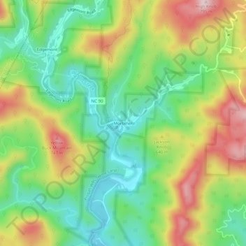
Name: Mortimer topographic map, elevation, terrain.

Location: Mortimer, Caldwell County, North Carolina, United States (35.97033 -81.77956 36.01033 -81.73956)

Average elevation: 574 m

Minimum elevation: 438 m

Maximum elevation: 769 m

Other topographic maps

Click on a map to view its topography, its elevation and its terrain.

Hudson

United States > North Carolina > Caldwell County > Hudson

Average elevation: 378 m

Gear up for your next adventure:

👟Sport Hiking Sandals - Breathable footwear for water crossings and camp rest
💧Reusable Water Bottle - Durable water bottles for hydration on trails
🧥Packable Rain Jacket - Breathable waterproof layer for unpredictable weather
🥾Mountain Hiking Shoes - Shoes with superior grip for mountainous terrain
🥾Hiking Leggings - Comfortable leggings for outdoor activities

As an Amazon Associate, this site earns from qualifying purchases at no extra cost to you.