Geolocate

Warman topographic map

Click on the map to display elevation.

About this map
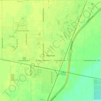
Name: Warman topographic map, elevation, terrain.

Location: Warman, Saskatchewan, Canada (52.28943 -106.60402 52.33999 -106.55583)

Average elevation: 510 m

Minimum elevation: 497 m

Maximum elevation: 517 m

Warman trails, hiking, mountain biking, running and outdoor activities

Gear up for your next adventure:

💡Solar Camping Lamp - Eco-friendly lighting for campsites
🕶️Polarized Sunglasses - Protect your eyes with durable polarized lenses
⛺Lightweight Camping Tent - Portable shelter optimized for Canadian backcountry camping
🔥Camping Stove - Portable stoves to cook outdoors with ease
🛶Kayak Accessories - Essential gear for safe and fun kayaking adventures

As an Amazon Associate, this site earns from qualifying purchases at no extra cost to you.