Geolocate

Mexico Beach topographic map

Click on the map to display elevation.

About this map

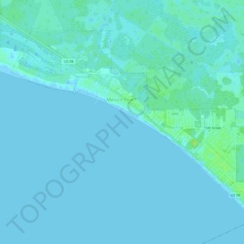
Name: Mexico Beach topographic map, elevation, terrain.

Location: Mexico Beach, Bay County, Florida, 32410, United States (29.92492 -85.44524 29.96294 -85.38849)

Average elevation: 2 m

Minimum elevation: -3 m

Maximum elevation: 12 m

Gear up for your next adventure:

🛶Waterproof Dry Bags - Keep electronics and clothes dry during river crossings
🥤Collapsible Travel Cup - Saves space and weight in your mess kit
🧤Insulated Winter Gloves - Heavy-duty protection for sub-zero Canadian adventures
🔋Solar Power Bank - Keep your GPS and devices charged during long outdoor trips
🥾All-Terrain Hiking Boots - Versatile boots for varied hiking conditions

As an Amazon Associate, this site earns from qualifying purchases at no extra cost to you.