
Le Bloc topographic map
Interactive map
Click on the map to display elevation.
About this map
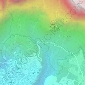
Name: Le Bloc topographic map, elevation, terrain.
Location: Le Bloc, Cilaos, Saint-Pierre, Réunion, 97413, France (-21.13343 55.47322 -21.11343 55.49322)
Average elevation: 1,547 m
Minimum elevation: 1,114 m
Maximum elevation: 2,516 m