
Tar Island topographic map
Interactive map
Click on the map to display elevation.
About this map
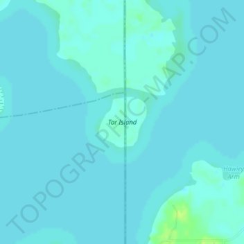
Name: Tar Island topographic map, elevation, terrain.
Location: Tar Island, Harrison County, Texas, United States (32.68706 -94.04655 32.69268 -94.04024)
Average elevation: 53 m
Minimum elevation: 51 m
Maximum elevation: 64 m