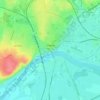
L'Ain topographic map
Click on the map to display elevation.
L'Ain
The river rises at an altitude of some 700 metres, near the village of La Favière, in the Jurassic limestone of the southern end of the Jura mountains and flows into the Rhône near Saint-Maurice-de-Gourdans, about 40 kilometres upstream of Lyon.
About this map
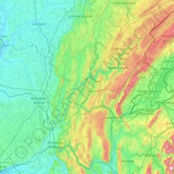
Name: L'Ain topographic map, elevation, terrain.
Average elevation: 538 m
Minimum elevation: 170 m
Maximum elevation: 2,273 m
Other topographic maps
Click on a map to view its topography, its elevation and its terrain.
Chauveroche
France > Bourgogne-Franche-Comté > Territoire-de-Belfort > Lepuix
Average elevation: 720 m
Point d’eau du Leuzeu
France > Bourgogne-Franche-Comté > Côte-d'Or > Flavignerot
Average elevation: 491 m