
Holstein topographic map
Interactive map
Click on the map to display elevation.
About this map
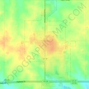
Name: Holstein topographic map, elevation, terrain.
Location: Holstein, Ida County, Iowa, United States of America (42.47231 -95.55607 42.50377 -95.53010)
Average elevation: 435 m
Minimum elevation: 414 m
Maximum elevation: 450 m