Geolocate

Old Town topographic map

Click on the map to display elevation.

About this map

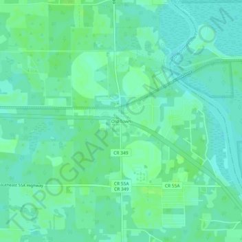
Name: Old Town topographic map, elevation, terrain.

Location: Old Town, Dixie County, Florida, 32680, United States (29.58135 -83.00179 29.62135 -82.96179)

Average elevation: 7 m

Minimum elevation: 2 m

Maximum elevation: 10 m

Gear up for your next adventure:

🕶️Polarized Sunglasses - Reduces glare from snow and water at high elevations
🩹Compact First Aid Kit - Pre-packed essentials for common trail injuries
🥽Outdoor Goggles - Protective eyewear for outdoor activities
🏃Hydration Running Vest - Carry water and maps close to your body for speed
🔋Solar Power Bank - Keep your GPS and devices charged during long outdoor trips

As an Amazon Associate, this site earns from qualifying purchases at no extra cost to you.