Geolocate

Hisar topographic map

Click on the map to display elevation.

About this map

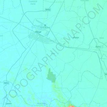
Name: Hisar topographic map, elevation, terrain.

Location: Hisar, Haryana, India (28.89713 75.62947 29.26424 75.90767)

Average elevation: 214 m

Minimum elevation: 206 m

Maximum elevation: 377 m

Gear up for your next adventure:

🥾Light Hiking Boots - Lightweight and comfortable boots for day hikes
🧭Orienteering Kit - Tools for map reading and navigation in the wild
🥾Trekking Boots - Durable boots for long-distance trekking
🪑Insulated Seat Pad - Protect your seat from cold rocks and wet logs
🎒Hiking Daypack - Lightweight and durable backpacks for day trips and excursions

As an Amazon Associate, this site earns from qualifying purchases at no extra cost to you.