Geolocate

Green Valley topographic map

Click on the map to display elevation.

About this map

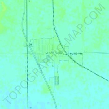
Name: Green Valley topographic map, elevation, terrain.

Location: Green Valley, Tazewell County, Illinois, United States (40.39978 -89.65095 40.41426 -89.63381)

Average elevation: 164 m

Minimum elevation: 160 m

Maximum elevation: 169 m

Gear up for your next adventure:

🔦LED Flashlight - Powerful and long-lasting flashlight for camping and emergencies
🥾All-Terrain Hiking Boots - Versatile boots for varied hiking conditions
🧥Softshell Hiking Jacket - The perfect balance of wind protection and breathability
🧼Travel Hand Sanitizer - Keep hands clean when water is scarce
📷Outdoor Action Camera - Capture high-elevation views and rugged adventures

As an Amazon Associate, this site earns from qualifying purchases at no extra cost to you.