Geolocate

Biggar topographic map

Click on the map to display elevation.

About this map
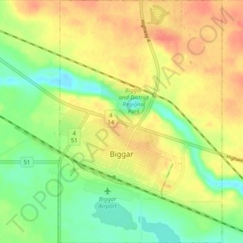
Name: Biggar topographic map, elevation, terrain.

Location: Biggar, Division No. 12, Saskatchewan, S0K 0M0, Canada (52.04160 -108.00310 52.08525 -107.95526)

Average elevation: 662 m

Minimum elevation: 636 m

Maximum elevation: 685 m

Division No. 12 trails, hiking, mountain biking, running and outdoor activities

Other topographic maps

Click on a map to view its topography, its elevation and its terrain.

Gear up for your next adventure:

👟Sport Hiking Sandals - Breathable footwear for water crossings and camp rest
🚲Handlebar Phone Mount - View topographic-map.com live while cycling
🧴Bear Spray Holster - Quick-access carry for essential Canadian wilderness safety
🥾Trekking Poles - Adjustable trekking poles to reduce knee stress and improve stability
🛶Waterproof Dry Bags - Keep electronics and clothes dry during river crossings

As an Amazon Associate, this site earns from qualifying purchases at no extra cost to you.