Geolocate

Cananda topographic map

Click on the map to display elevation.

About this map
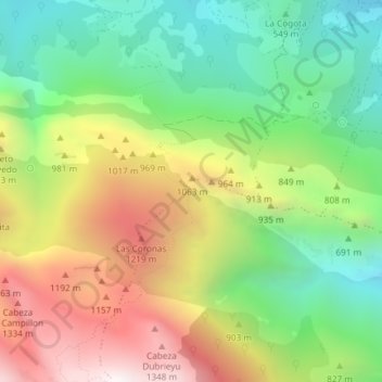
Name: Cananda topographic map, elevation, terrain.

Location: Cananda, Bulnes, Cabrales, Asturias, 33555, Spain (43.27873 -4.87176 43.29873 -4.85176)

Average elevation: 781 m

Minimum elevation: 294 m

Maximum elevation: 1,455 m

Gear up for your next adventure:

🥾Hiking Shoes - Durable and comfortable shoes for trail hiking
⛺Tent Footprint - Protect tent floor and increase durability
🧭GPS Handheld Device - Reliable GPS navigation for outdoor adventures
🧢Hiking Sun Hat - Wide-brimmed protection for exposed mountain ridges
🧶550 Survival Paracord - Versatile utility cord for emergency repairs and rigging

As an Amazon Associate, this site earns from qualifying purchases at no extra cost to you.