Geolocate

Monte Penna topographic map

Click on the map to display elevation.

About this map
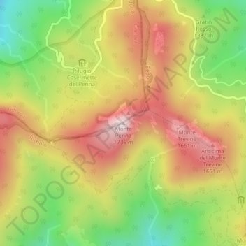
Name: Monte Penna topographic map, elevation, terrain.

Location: Monte Penna, Tornolo, Parma, Emilia-Romagna, Italy (44.48124 9.49283 44.48134 9.49293)

Average elevation: 1,409 m

Minimum elevation: 1,101 m

Maximum elevation: 1,697 m

Gear up for your next adventure:

🧊Portable Cooler - Keep food and drinks cold during outdoor adventures
🧴Outdoor Sunscreen - High SPF protection for high-altitude UV exposure
🍽️Titanium Camping Spork - Ultralight and indestructible eating utensil
🦌Outdoor Trail Camera - Monitor wildlife activity near your favorite spots
🥫Freeze-Dried Meals - Lightweight, high-calorie nutrition for multi-day treks

As an Amazon Associate, this site earns from qualifying purchases at no extra cost to you.