Geolocate

Pizarro topographic map

Click on the map to display elevation.

About this map

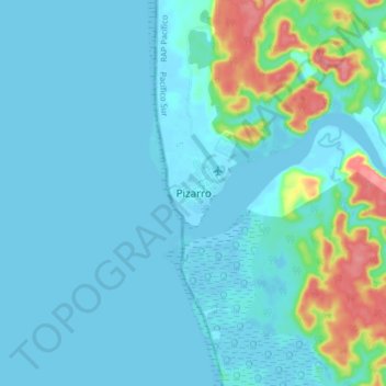
Name: Pizarro topographic map, elevation, terrain.

Location: Pizarro, Bajo Baudó (Pizarro), Pacífico Sur, Chocó, Colombia (4.91375 -77.40679 4.99375 -77.32679)

Average elevation: 15 m

Minimum elevation: -3 m

Maximum elevation: 95 m

Gear up for your next adventure:

🥾Trekking Boots - Durable boots for long-distance trekking
🥾Waterproof Hiking Boots - Boots keeping your feet dry in wet conditions
🪜Heavy Duty Carabiners - Multi-use clips for securing gear to your backpack
🧼Travel Hand Sanitizer - Keep hands clean when water is scarce
🛶Kayak Dry Bag - Waterproof storage for kayaking adventures

As an Amazon Associate, this site earns from qualifying purchases at no extra cost to you.